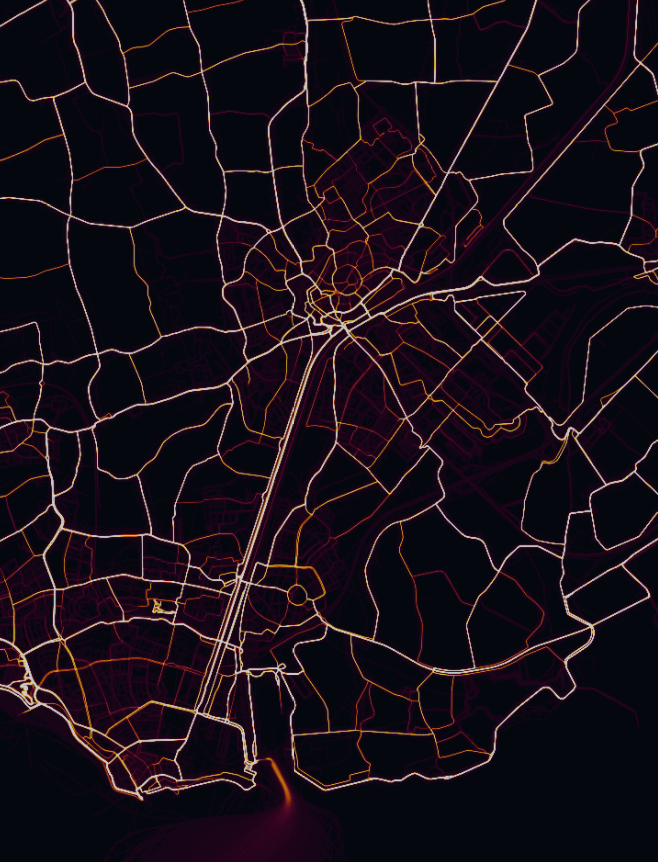
It is really nice to take a look at the Strava heat map. From all public information that the users of Strava collect, a “heat map” is made. Not only can the favorite routes be extracted from this, but policymakers can also get relevant information they need to improve the infrastructure.
https://www.strava.com/heatmap#7.16/3.18014/51.53014/hot/all

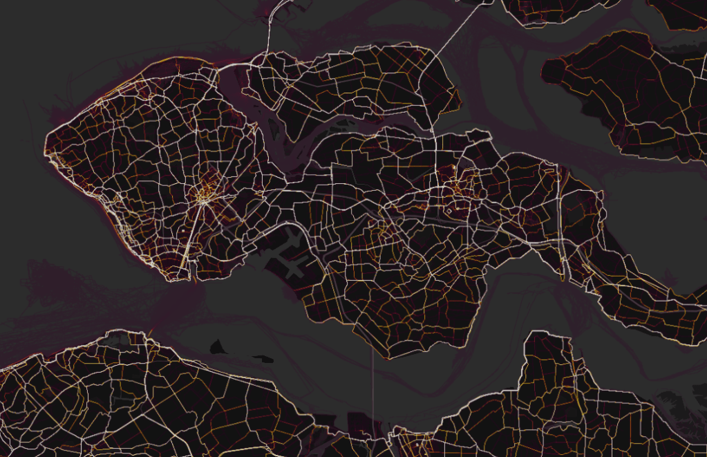
By switching between cycling and walking mode in the column at the left, large differences are immediately noticeable.
Apparently there are many people at my employer who always leave their Strava on; even if they take a walk along the long pier during the break …


It is even possible to see where fanatic Strava users live …